Terrestrial laser scanning
Introduction
Welcome to Cloud Inspect Lab, where we offer state-of-the-art terrestrial laser scanning services to help businesses revolutionize their data collection and analysis processes. Our advanced technology and expertise enable us to capture highly detailed and accurate 3D data of your environments, providing you with valuable insights and a competitive edge. Explore the remarkable capabilities of terrestrial laser scanning and discover how Cloud Inspect Lab can help your industry thrive.
Services
What is Terrestrial Laser Scanning?
Terrestrial laser scanning is a cutting-edge surveying technique that utilizes a high-precision laser scanner to capture millions of data points within a given space. By emitting laser beams and measuring their reflections, the scanner generates a dense point cloud—an accurate representation of the surface of objects, structures, and landscapes. This technology allows us to capture precise geometric data with sub-millimeter accuracy, providing unparalleled precision for a wide range of applications.
Industries Transformed by Terrestrial Laser Scanning
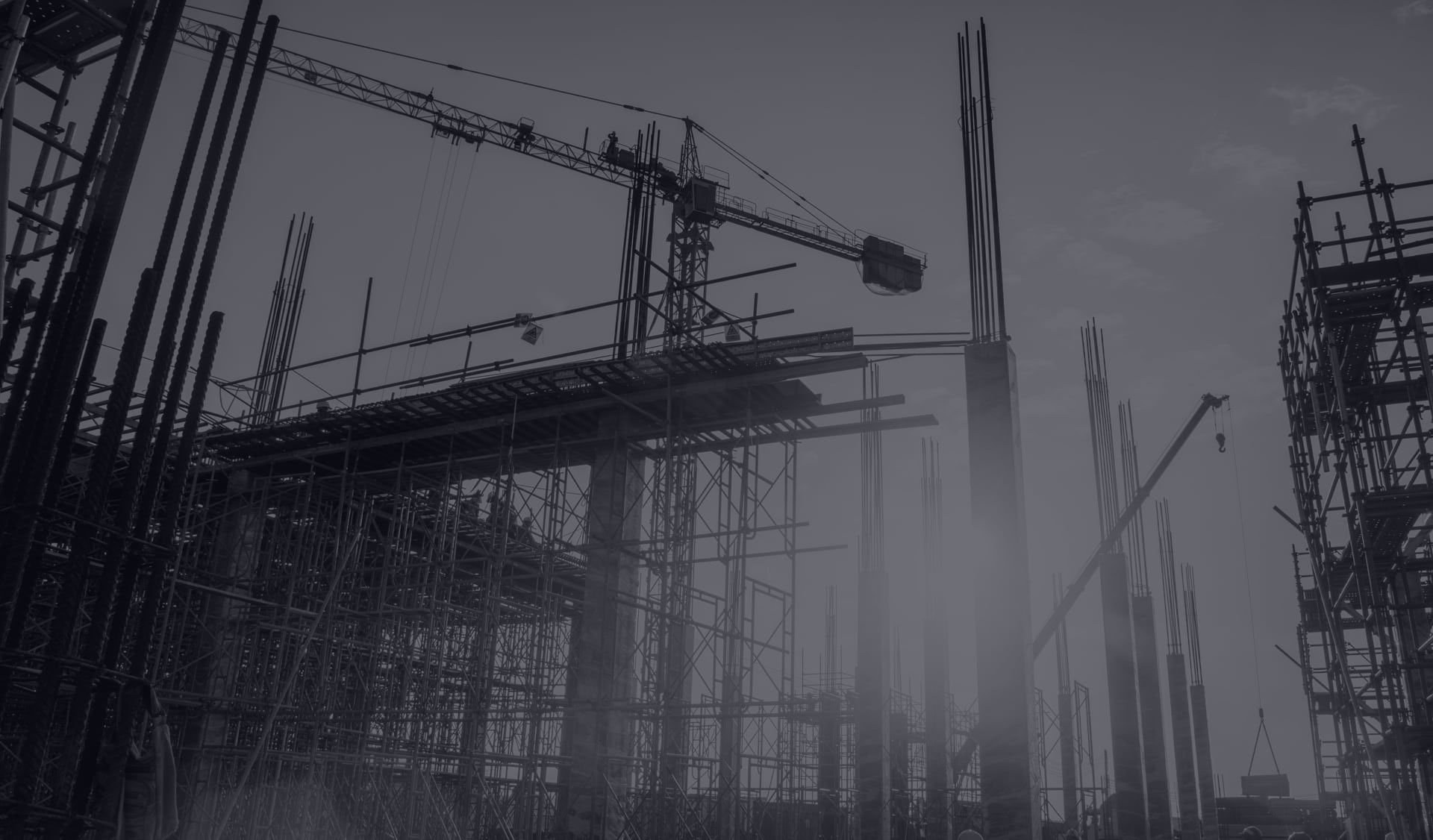
Our terrestrial laser scanning services have transformed numerous industries, delivering exceptional results across the board. In architecture, engineering, and construction (AEC), we provide as-built documentation for clash detection, structural analysis, and precise measurements. Manufacturing businesses benefit from quality control, reverse engineering, and process optimization. Environmental applications include terrain modeling, vegetation analysis, and monitoring landscape changes. Furthermore, our scanning services aid cultural heritage and archaeology experts in preserving and digitally documenting historical sites and artifacts.
The Power of Accuracy and Efficiency
At Cloud Inspect Lab, we prioritize accuracy and efficiency in our terrestrial laser scanning services. By rapidly collecting vast amounts of data in minutes, we eliminate the need for manual measurements, significantly reducing project timelines. Our advanced software enables precise measurements, 3D modeling, and visualization, allowing you to make informed decisions and achieve optimal project outcomes. With our services, you gain access to comprehensive and detailed representations of your assets or environments, empowering you with actionable insights.
Advantages of Cloud Inspect Lab's Services
Choosing Cloud Inspect Lab for your terrestrial laser scanning needs goes beyond obtaining accurate data. Our team of experienced professionals possesses industry-specific knowledge, ensuring that we provide tailored solutions to meet your project requirements. We offer comprehensive data processing, including registration, filtering, and modeling, to deliver precise and reliable final deliverables. Additionally, our secure cloud-based platform allows you to access and collaborate on your data remotely, fostering seamless communication and streamlining workflows.
Cloud Inspect Lab’s terrestrial laser scanning services are designed to transform the way you approach data collection and analysis. With our advanced technology, expertise, and commitment to accuracy and efficiency, we provide you with highly detailed and accurate 3D data to drive innovation and achieve operational excellence in your industry.
Contact us today to learn more about how Cloud Inspect Lab can empower your business with precise terrestrial laser scanning services.
Get in Touch
Mauris a ante quis enim rhoncus mattis quis et nunc. Maecenas auctor tellus sit amet